
WUI Data
Explore these data resources that will help you to understand the characteristics of wildland urban interface (WUI) fires, identify and assess wildfire risk, and prepare more effectively for response to WUI fires.
Wildfire and WUI blog articles related to data
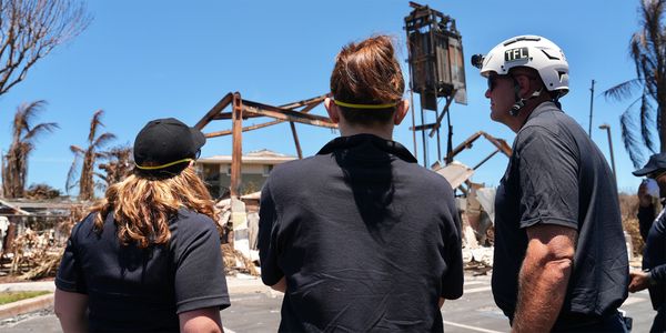
Phase 3 report on Lahaina fire released
Read the latest report that details priorities and recommendations that can begin to be implemented to prevent tragedies in the future.
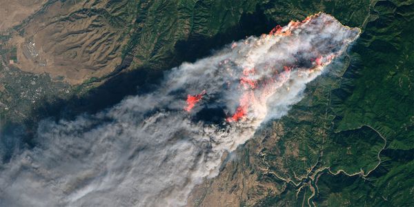
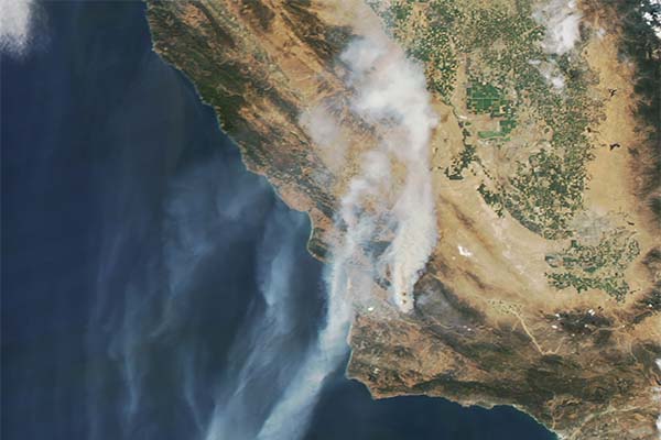
NASA satellite images identify a destructive wildfire metric
Read how University of Colorado research scientists conducted a comprehensive analysis of wildfire behavior.
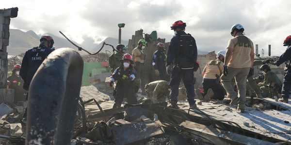
Lahaina Fire Incident Analysis Report released by the attorney general of Hawaii
Read the detailed report that examines the tragic fire that devastated much of Lahaina, Hawaii on Aug. 8 and 9, 2023.
A new National Institute for Standards and Technology report outlines best practices for post-fire analysis
Learn more about lessons learned from previous case studies, including the Camp Fire, as well as what strategies need to be followed for future post-fire research and analysis to help us learn how to better protect ourselves, our communities, infrastructure and local ecosystems.
New tools launch to raise awareness on wildland urban interface fire
Learn more about the new tools USFA is launching to apply consistent data in the implementation of community risk reduction, code adoption and enforcement, mitigation, and planning efforts.
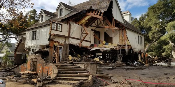
Lahaina Hawaii fire timeline report
Now available: The Lahaina Fire Comprehensive Timeline Report on the devastating August 2023 fire that lead to 101 fatalities, widespread destruction and devastating community impacts.
View more wildfire & WUI articles
Wildfire Report Series

An Analysis of NFIRS Data for Selected Wildfires
The third report in our Wildfire Report Series compares the publicly reported loss metrics (e.g., deaths, injuries, dollar losses and acres burned) from media and government sources for 6 named wildfires between 2016 and 2018 with the data reported by local fire departments to the NFIRS.
Analysis of NFIRS incidents in the WUI
The second report in our Wildfire Report Series examines 2009 to 2011 California wildland urban interface (WUI) incidents reported to NFIRS in terms of travel time, loss measures and fire cause and compares the incidents to those outside WUI areas.
Investigation of MODIS-detected fires in NFIRS
The first report in our Wildfire Report Series investigates the feasibility of using Moderate Resolution Imaging Spectroradiometer (MODIS) data as a means for identifying wildfire incidents that may be missing from NFIRS.